
Immaggine:Antigua and Barbuda location map.svg

Dimensción de quest'anteprìmma PNG pe sto file chi SVG: 521 × 599 pixel. Âtre resoluçioìn: 209 × 240 pixel | 417 × 480 pixel | 667 × 768 pixel | 890 × 1 024 pixel | 1 780 × 2 048 pixel | 864 × 994 pixel.
File òriginâle (file into formâto SVG, dimenscioìn nominâli 864 × 994 pixel, dimenscioìn do file: 135 KB)
| Descriçión |
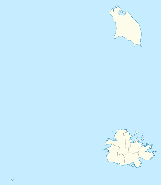
Deutsch: Positionskarte von Antigua und Barbuda. Geographische Begrenzungen der Karte:
English: Location map of Antigua and Barbuda. Geographic limits of the map:
|
| Dæta | |
| Vivàgna | Opera propria usando: OpenStreetMap data for the coastlines |
| Aotô |
Graphic made by Carport |
| Atre verscioin |
_location_map.svg) |
| SVG sviluppo | Questa mappa in grafica vettoriale è stata creata con Adobe Illustrator. |
Licénsa
Questo file è disponibile in base alla licenza Creative Commons Attribuzione-Condividi allo stesso modo 2.0 Generico
- Ti t'ê lìbero:
- de condivìdde – de copiâ, distriboî e trasmétte 'st'òpera chi
- de modificâ – de adatâ l'òpera
- A-e condiçioìn chi de sótta:
- atribuçión – Ti ti dêvi atriboî a paternitæ de l'òpera, indicâ o link a-a licénsa, e indicâ se són stæti fæti di cangiaménti ascì. Ti ti pêu fâ coscì inte 'n mòddo raxonévole e de mòddo da no sugerî che quélli ch'à dæto a licénsa sostêgnan ti ò a manêa inta quæ ti t'adêuvi l'òpera.
- condivìddi a-o mæximo mòddo – Se ti càngi, trasfórmi ò svilùppi o materiâle ti dêvi distriboî i tò contribûti segóndo 'na licénsa pægia ò conpatìbile a l'òriginâle.
Cronologîa do file
Sciàcca in sce 'n grùppo dæta/ôa pe védde comm'o l'êa o file into moménto indicòu.
| Dæta/Ôa | Miniatûa | Dimenscioìn | Uténte | Coménti | |
|---|---|---|---|---|---|
| prezénte | 19:25, 21 òtô 2013 | | 864 × 994 (135 KB) | TUBS | +subdivisions |
| 21:58, 23 nov 2009 |  | 1 080 × 1 243 (182 KB) | Carport | {{Information |Description={{de|1=Positionskarte von {{w|Antigua und Barbuda|3=de}}. Geographische Begrenzungen der Karte: * N: 17.755° N * S: 16.919° N * W: 62.4° W * E: 61.639° W}} {{en|1=Location map of {{w|Antigua and Barbuda}}. Geographic limits |
Utilìzzo do file
A pàgina chi de sótta a contêgne di ligàmmi a sto file chi:
Utilìzzo globâle do file
Quésto file o l'é dêuviou da 'ste âtre wiki ascì:
- Dêuviòu inte pàgine de af.wikipedia.org chi de sótta:
- Dêuviòu inte pàgine de an.wikipedia.org chi de sótta:
- Dêuviòu inte pàgine de ar.wikipedia.org chi de sótta:
- Dêuviòu inte pàgine de ast.wikipedia.org chi de sótta:
- Dêuviòu inte pàgine de ay.wikipedia.org chi de sótta:
- Dêuviòu inte pàgine de az.wikipedia.org chi de sótta:
- Dêuviòu inte pàgine de be.wikipedia.org chi de sótta:
- Dêuviòu inte pàgine de bg.wikipedia.org chi de sótta:
- Dêuviòu inte pàgine de bn.wikipedia.org chi de sótta:
- Dêuviòu inte pàgine de bs.wikipedia.org chi de sótta:
- Dêuviòu inte pàgine de ceb.wikipedia.org chi de sótta:
- Plantilya:Location map Antigua and Barbuda
- York Island (pulo sa Antigwa ug Barbuda, Parish of Saint Philip)
- Willoughby Bay (luuk sa Antigwa ug Barbuda)
- William Point (punta sa Antigwa ug Barbuda)
- White Cliff (pangpang sa Antigwa ug Barbuda)
- West Channel (agianan sa Antigwa ug Barbuda)
- Welch Point (punta sa Antigwa ug Barbuda)
- Tucks Point (punta)
- Mount Thomas (bukid sa Antigwa ug Barbuda)
- Table Hill (bungtod sa Antigwa ug Barbuda)
- Sugar Loaf Hill (bungtod sa Antigwa ug Barbuda)
- Spanish Point (punta sa Antigwa ug Barbuda)
- South Point (punta sa Antigwa ug Barbuda)
- South Channel (agianan nga kadagatan sa Antigwa ug Barbuda)
- Soldier Point (punta sa Antigwa ug Barbuda, Parish of Saint John)
- Soldier Point (punta sa Antigwa ug Barbuda, Parish of Saint Philip)
- Soldier Bay (luuk sa Antigwa ug Barbuda)
- Snapper Point (punta sa Antigwa ug Barbuda)
- Smith Island (pulo sa Antigwa ug Barbuda)
- Smith Hill (bungtod sa Antigwa ug Barbuda)
- The Sisters (pulo sa Antigwa ug Barbuda)
- Signal Hill (bukid sa Antigwa ug Barbuda)
- Shoal Point (punta sa Antigwa ug Barbuda)
- Scotts Hill (bungtod sa Antigwa ug Barbuda)
- Sandy Island Channel (agianan sa Antigwa ug Barbuda)
- Sandy Island (pulo sa Antigwa ug Barbuda)
- Parish of Saint Peter (parokya sa Antigwa ug Barbuda)
Véddi l'ûzo globâle de quésto file.