
Immaggine:Cocos (Keeling) Islands location map.svg

Dimensción de quest'anteprìmma PNG pe sto file chi SVG: 295 × 600 pixel. Âtre resoluçioìn: 118 × 240 pixel | 236 × 480 pixel | 378 × 768 pixel | 504 × 1 024 pixel | 1 007 × 2 048 pixel | 772 × 1 569 pixel.
File òriginâle (file into formâto SVG, dimenscioìn nominâli 772 × 1 569 pixel, dimenscioìn do file: 193 KB)
_Islands_location_map.svg)
Detàggi
| Descriçión |
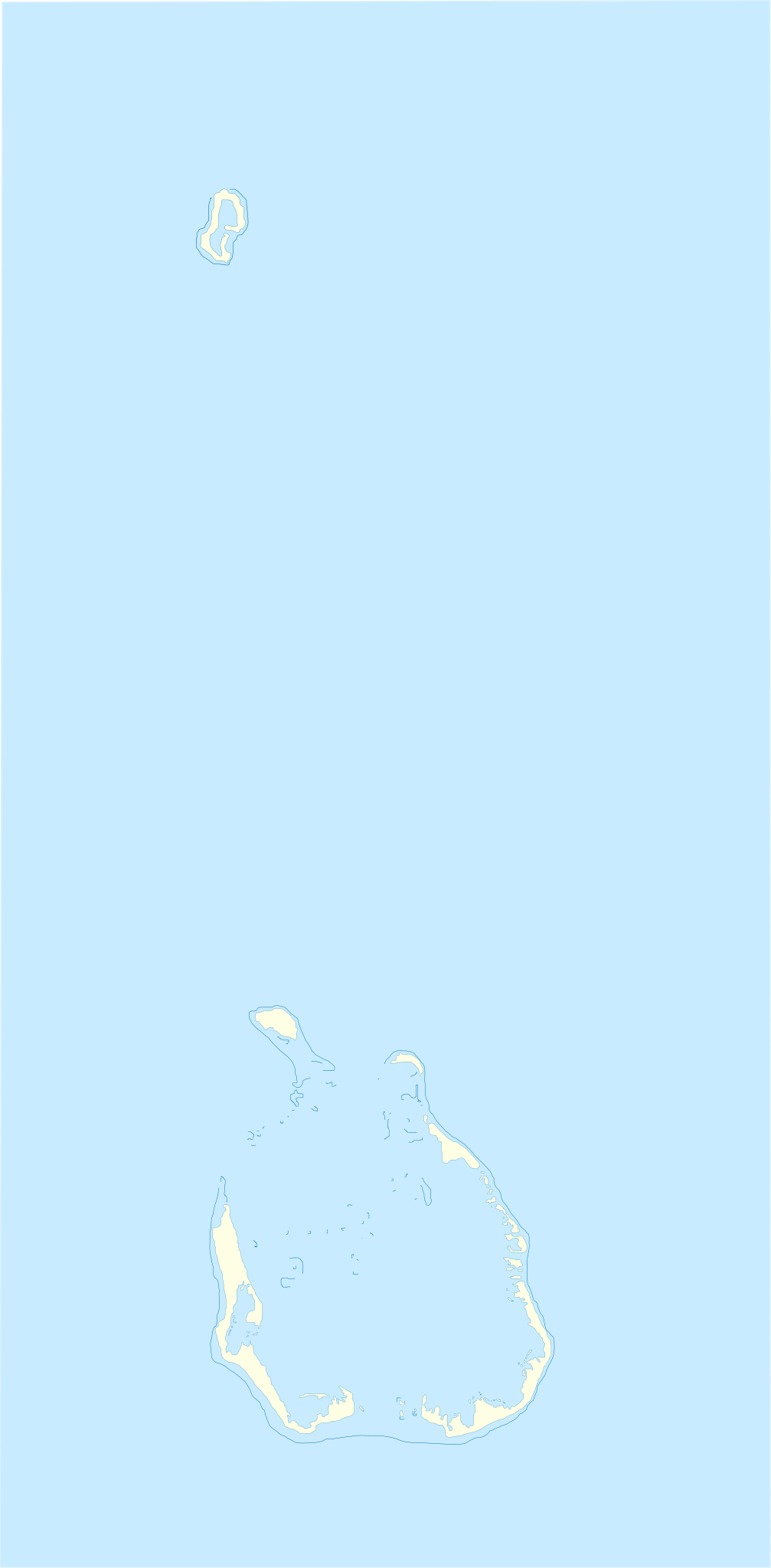
English: Location map of Cocos_(Keeling)_Islands
Equirectangular projection. Geographic limits of the map:
Français : Carte de localisation des Îles Cocos
projection equirectangulaire. Les limites géographiques sont
|
| Dæta | |
| Vivàgna | Òpera pròpia |
| Aotô | Xfigpower |
la vectorisation à main levée s'est appuyé sur Image:Cocos(keeling)_76.jpg
_76.jpg)
Licénsa
Mi, detentô di driti d'aotô de st'œuvia, deciæo de pubricâla sotta-e seguente lisensie:

|
O l'é permìsso copiâ, distriboî e/ò modificâ 'sto papê chi in bâze a-i tèrmini da GNU Free Documentation License, Versción 1.2 ò sucesîva, publicâ da-a Free Software Foundation; sénsa de seçioìn no modificàbili, sénsa tèsto de covertìnn-a e sénsa tèsto de quàrta de covertìnn-a. Ina còpia da licénsa a l'é inclûza inta seçión intitolâ Tèsto da GNU Free Documentation License. |
Questo file è disponibile in base alla licenza Creative Commons Attribuzione 3.0 Unported
- Ti t'ê lìbero:
- de condivìdde – de copiâ, distriboî e trasmétte 'st'òpera chi
- de modificâ – de adatâ l'òpera
- A-e condiçioìn chi de sótta:
- atribuçión – Ti ti dêvi atriboî a paternitæ de l'òpera, indicâ o link a-a licénsa, e indicâ se són stæti fæti di cangiaménti ascì. Ti ti pêu fâ coscì inte 'n mòddo raxonévole e de mòddo da no sugerî che quélli ch'à dæto a licénsa sostêgnan ti ò a manêa inta quæ ti t'adêuvi l'òpera.
Ti ti pêu çèrne a licénsa che ti ti vêu.
Cronologîa do file
Sciàcca in sce 'n grùppo dæta/ôa pe védde comm'o l'êa o file into moménto indicòu.
| Dæta/Ôa | Miniatûa | Dimenscioìn | Uténte | Coménti | |
|---|---|---|---|---|---|
| prezénte | 12:17, 4 agó 2010 | | 772 × 1 569 (193 KB) | Xfigpower | {{Information |Description={{en|1=Location map of Cocos_(Keeling)_Islands}} Equirectangular projection. Geographic limits of the map: * N: 11°45' S * S: 12°15' S * W: 96°45' E * E: 97°00 E}} {{fr|1=Carte de lo |
Utilìzzo do file
A pàgina chi de sótta a contêgne di ligàmmi a sto file chi:
Utilìzzo globâle do file
Quésto file o l'é dêuviou da 'ste âtre wiki ascì:
- Dêuviòu inte pàgine de af.wikipedia.org chi de sótta:
- Dêuviòu inte pàgine de an.wikipedia.org chi de sótta:
- Dêuviòu inte pàgine de ar.wikipedia.org chi de sótta:
- Dêuviòu inte pàgine de ast.wikipedia.org chi de sótta:
- Dêuviòu inte pàgine de ba.wikipedia.org chi de sótta:
- Dêuviòu inte pàgine de bn.wikipedia.org chi de sótta:
- Dêuviòu inte pàgine de bs.wikipedia.org chi de sótta:
- Dêuviòu inte pàgine de ceb.wikipedia.org chi de sótta:
- Plantilya:Location map Cocos (Keeling) Islands
- West Cay
- East Cay
- Ross Island
- Ross
- Selma
- North Lagoon
- South Island
- Western Entrance
- West Island
- Wreck Point
- Possession Point
- Direction Island
- Gooseberry Island
- Burial Island
- Burton Point
- Home Island
- Prison Island
- Selma Island
- Cocos Islands (pagklaro)
- Keeling Islands
- Pulo Panjang
- Ujong Tanjong
- Port Refuge
- Teluk Jambu
- Pulo Maria
- Horsburgh Island
- Pulu Belan
- Telok Semberang
- Cocos Islands
- Wreck Point (punta sa Kapupud-ang Cocos)
- Workhouse Island
- Gumagamit:Lsjbot/Duplicates/Cocos Islands (kapuloan sa Cocos Islands, lat -12,00, long 96,83)
- West Island (pulo sa Kapupud-ang Cocos, lat -12,18, long 96,83)
- Western Entrance (agianan nga nabigasyon)
- Turk Reef
- Ujong Tanjong (punta sa Kapupud-ang Cocos)
- South Lagoon (lanaw sa Kapupud-ang Cocos)
- South Keeling Islands
Véddi l'ûzo globâle de quésto file.
_Islands_location_map.svg)
_Islands_location_map.svg)